The Lancashire Trail Starting in St Helens, not far from where we live, and ending some 70 miles to the northeast on the Pennine Way, at Thornton-in-Craven, on the Lancashire-Yorkshire border.
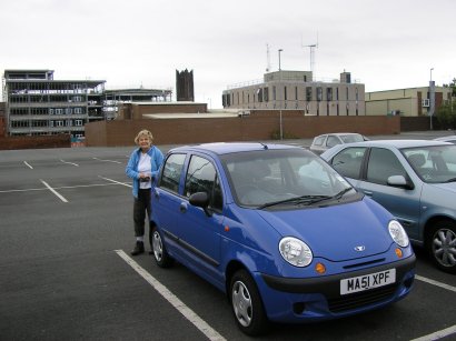 We understand that this route was researched by members of the St Helens & District CHA & HF Rambling Club and today Chris and I started our challenge by by completing the St Helens to Billinge section of the trail. Our starting point was from the carpark on Birchley Street (St Helens; see photograph); the pay and display was locked up so apparently there isn't a charge on Sundays. For current charges see the photograph of the sign.
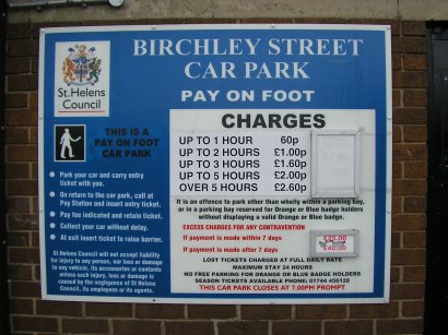 Turning left we walked to the end of Birchley Street.
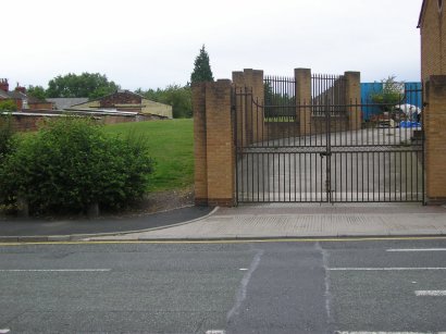
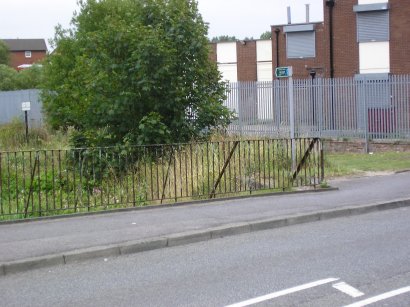
Here we crossed over Standish Street and up a grassy slope next to large metal gates with brick pillars.
 Keeping to the left of the open grassy area we eventually came out onto College Street opposite the Pilkington glassworks. Turing right along College street we had a short road walk before we turned right at a Public Footpath Sign (before the railway bridge).
Just a few yards further we crossed a brook and passed under the railway at Gerards Bridge; onto the left bank of the disused St Helens Canal.

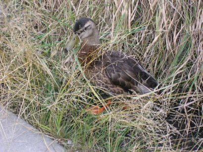
A quiet walk only disturbed by Chris being surprised by a 'hiding duck"!
 Onwards to Merton Bank Road where we turned right over the canal bridge and then left to walk along the right-hand bank of the canal until we reached the A58 at Park Road.
 Here we crossed the road and went through the gap between the last house and the fence; keeping the fence on the right we crossed the grassy area to Boardmans Lane. Passing some rugby pitches on the left and sewage works on the right (don't, if you want to walk in our 'footsteps', go to the right of the United Utilities Sewage works)we crossed an iron footbridge and keeping left walked along the right-hand bank of the canal.
We eventually arrived at the A58 again, near the Ship Inn at Blackbrook, crossing the road and through a kissing gate and along the valley towards Carr Mill Dam; we crossed the stream once, on a small brick footbridge, and passed under the A580 East Lancashire Road, through another kissing gate and under a railway viaduct (this was next to the 'overflow' from Carr Mill Dam).
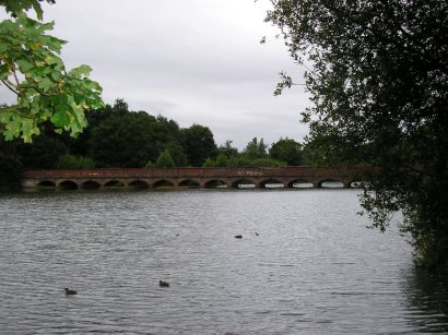
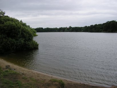 On reaching the lane along the top of the dam we turned right and walked across a metal bridge over the overflow. We followed the perimeter road, passing the Lancashire Powerboat Racing Club building (through another kissing gate) and continued, keeping left, around the lake until we reached the 19 arch footbridge. On the way we saw a heron, lots of ducks and coots as well as a large number of grebe.
The bridge carries the St. Helens-Rivington water supply over the dam.
 At the bridge we had to go through the most overgrown section of the walk, through the trees (still following the edge of the water; spotted another heron)
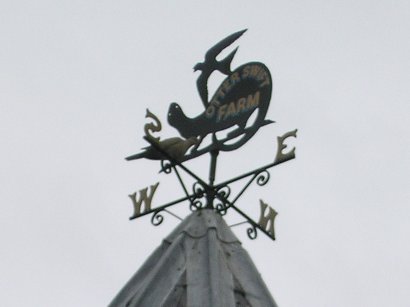
 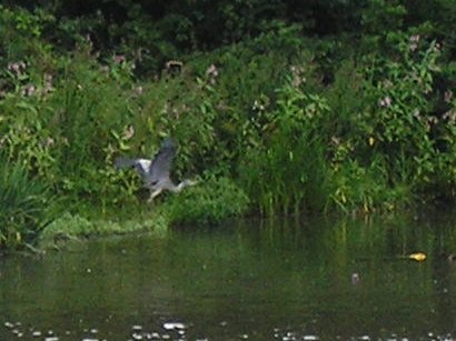 to join a lane near Otters Swift Farm. Here we kept to the right of the building with a tower and weather vane on its roof; the vane, and no surprise here, was of a swift and an otter.
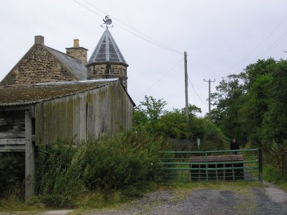
First left after this building led us to emerge, next to another farm on Lime Vale Road, onto the main road into Billinge.
Turning right we walked up the hill to the bus stop, to await our transport back to the start. £1.50 each and we were soon back in the carpark overlooking the Town Hall.
A very pleasant walk, in the light rain. Our next step along the Lancashire Trail will be From Billinge to Abbey Lakes (this will be after next weeks Gritstone Path (holiday; 37 miles).
No comments:
Post a Comment